Using AI-driven Yield Estimation to Improve Resilience of Malian Cotton Farmers
As part of the Climate Change AI Innovation Grants program, the IMPRESSYIELD team is using Satellite Data and AI to monitor the climate change risks to one of Mali’s most threatened crops.


Climate Change Risks to Agri-Business Sector
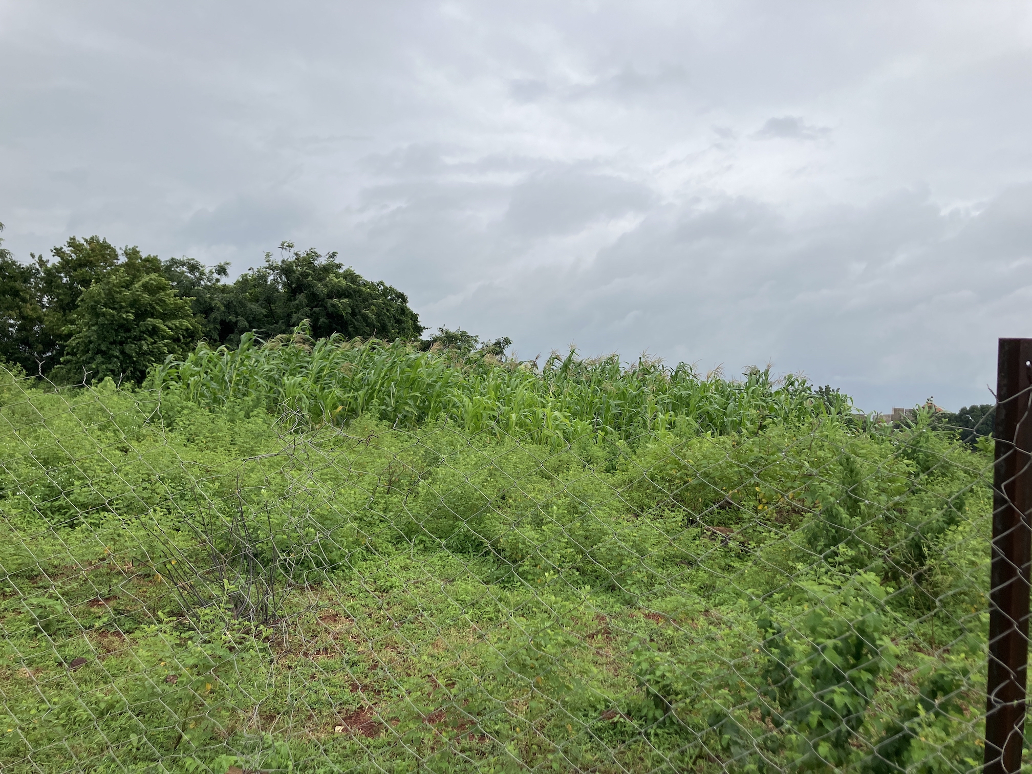
15 million Malians rely on agriculture for food and income, much of which is small-scale agriculture. Among agricultural crops, cotton is one of the most important economic crops in Mali. Cotton contributes 15% of GDP and 11% of total value of exports (second only to gold), with cotton production supporting close to a quarter of Mali’s population, 4 million.
Cotton is also highly sensitive to climate change, as yields are closely linked to rainfall. Mali’s cotton production is at high risk due to the expected shorter growing periods, increasing duration of extreme temperatures, more frequent and intense droughts and rainfalls due to the climate change. Cotton production has already been affected by drought in 2012-13 and heavy rains in 2017-18. Moreover, Mali scores high in vulnerability and low in readiness against climate change, according to their ND-GAIN index, which summarizes a country’s vulnerability to climate change and other global challenges in combination with its readiness to improve resilience.
Addressing these challenges in order to ensure the sustainability and viability of Mali’s agri-business sector is of highest importance and provides an excellent opportunity for the use of advanced AI technologies. However, these technologies require accurate field data, which is scarce in underdeveloped countries. In these uncharted lands, there is no reliable source of information to help farmers manage their crop production risks.
The IMPRESSYIELD project addresses the lack of data to use AI to help farmers better understand and adapt to these challenges. This project introduces the dynamic yield estimation map, a tool that uses freely available earth observation data and advanced AI techniques to monitor climate change risks in Mali’s cotton production.
The Dynamic Yield Estimation Map
We propose an innovative yield estimation method at commune scale and field scale for cotton in Mali. We employ domain adaptation techniques, which enable operation with limited amounts of in-situ data.
The “Improving Resiliency of Malian Farmers with Yield Estimation: IMPRESSYIELD” project combines state of the art remote sensing AI and freely available satellite earth observations. There are several reasons why satellite imagery is useful for yield estimation in Africa:
- Wide coverage: Satellite imagery can cover large areas quickly and relatively cheaply.
- Repeatability: Satellite imagery can be collected at regular intervals, allowing longitudinal monitoring of crop growth and yield.
- Accessibility: Satellite imagery is often more readily available than other forms of data, such as ground-based measurements, which are difficult to obtain in some parts of Africa.
- Ease of use: There is dedicated software for satellite imagery that makes it easy to extract useful information from the data.
- Non-invasiveness: Satellite imagery does not require physically accessing fields, which can be important in areas with restricted field access.
Overall, satellite imagery provides a cost-effective and efficient way to estimate crop yields in Africa and a valuable tool for agricultural planning and decision-making.
Despite the advantages of satellite imagery, satellite imagery is not widely supported by in-situ data from field visits which is required for validation and reliable dataset generation. Thus, state-of-the-art methods and functions which can be successfully employed in the regions with in-situ data access may be challenging or impossible to implement in Africa.
As a result, earth observation driven state-of-the-art crop analytics on monitoring climate change risks affecting the African agri-business sector are underutilized.
IMPRESSYIELD addresses the monitoring of climate change risks of cotton production by providing a specific AI-based tool, the dynamic yield estimation map, integrating freely available earth observation data and specific crop yield models with an advanced AI approach that achieves high accuracy with limited in-situ data. This map enables continuous monitoring of predicted yield from application regions, using a deep neural network based yield estimation algorithm based on the timeseries data generated from multiple satellite sources.
The Team

The IMPRESSYIELD project is driven by a collaborative research partnership between Istanbul Technical University (ITU), Middle East Technical University (METU), and global Agritech startups Agcurate and OKO.
ITU team consists of 3 people, Esra Erten (principal investigator) along with 2 researchers Mustafa Serkan Isik, a PhD graduate in Geosciences and Mehmet Furkan Celik, PhD candidate in Geosciences in ITU. METU team consists of 2 people, Gokberk Cinbis, who is an assistant professor in METU along with Samet Cetin, who is a PhD candidate in Computer Science in METU, and who also works part-time in Agcurate. Agcurate team consists of 6 people. 3 of them (Berk Ulker, Burcu Suslu and Can Kayabek) are responsible for the development of the machine learning algorithms, 2 of them (Metin Emenullahi and Burak Isilar) are responsible for development, deployment and maintenance of multi-modal data processing infrastructure, and Osman Baytaroglu is responsible for overall project coordination and serving as a data quality engineer, and supporting the team via field visits (such as in Mali). Last but not least, Simon Schwall from OKO Finance coordinates OKO’s roles and responsibilities while Abdallahi Ould Mohamed, country manager of OKO Finance in Mali, is responsible for dissemination activities that are being organized in Mali.
Conclusion
The dynamic yield estimation map is a valuable tool for improving the resiliency of Malian farmers by using AI to monitor and adapt to the risks posed by climate change. By using freely available earth observation data and advanced AI techniques, the map provides farmers with valuable insights into the state of their crops and helps them make informed decisions about how to best protect their livelihoods. The IMPRESSYIELD project represents an important step forward in the use of digital technologies to support small-scale agriculture in developing countries, and has the potential to greatly improve the sustainability and viability of Mali’s agri-business sector and to provide risk management products, such as insurance, allowing farmers to be protected against the risk of climate variability.
This project was funded by the Climate Change AI Innovation Grants program, hosted by Climate Change AI with the additional support of Canada Hub of Future Earth.